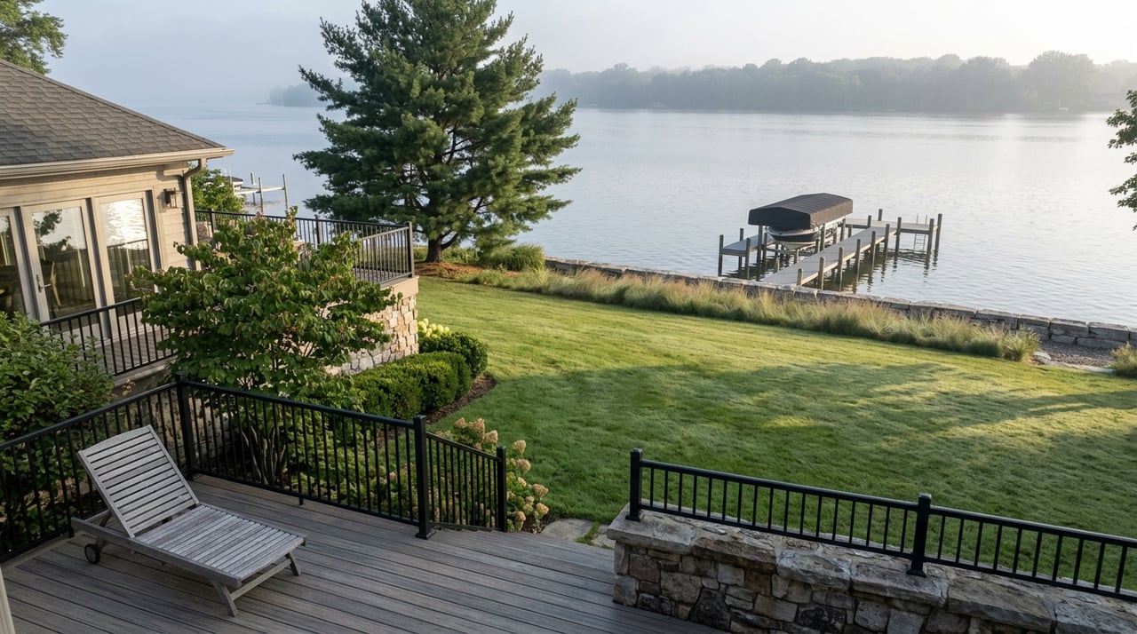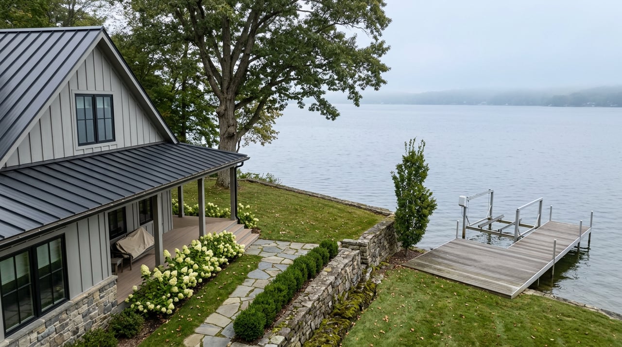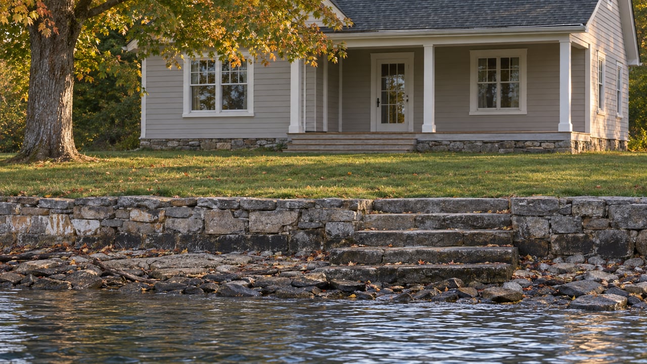
Walk down to the dock on Waneta or Lamoka in mid-October and the shoreline has moved. Rocks that were underwater in August are sitting in open air. The ramp that used to end at the waterline now ends several feet short of it. Most people assume a dry summer did it. On these two lakes, the weather is rarely the reason.
The real explanation sits at the south end of Lamoka Lake in Bradford, where New York State Electric & Gas owns a dam and spillway that has controlled both lakes' water levels since the late 1990s. Every fall, on a schedule the Lamoka Waneta Lakes' Association publishes to its members, that structure lets the lake drop further than it's allowed to drop all summer. For 2026, the Association's calendar puts the start of that drawdown at October 15.
The Elevation Line NYSEG Isn't Allowed to Cross
Both lakes sit at the same base elevation of 1,099 feet, which makes sense once you know they're connected by a channel and managed as a single hydraulic system. What changes through the year is how far below that line NYSEG is permitted to let the water fall. The Federal Energy Regulatory Commission, which oversees the license, sets two different floors depending on the season.
| Period | Allowed elevation range |
|---|---|
| Memorial Day through October 1 | 1,099 to 1,098 feet |
| Outside that window, including the fall drawdown | 1,099 to 1,096 feet |
During boating season, the lake is held within a tight one-foot band. Once October 1 passes, the license opens up two more feet of room. The October 15 start date on the Association's calendar is the day NYSEG begins using that extra room on purpose, not the day the lake happens to run low.
You can find the depth-control language, including the 1,099 to 1,096-foot limit and the summer restriction that expires October 1, on the Association's own site.
A Channel Built for a Power Plant That No Longer Needs the Water
The reason NYSEG controls this dam at all traces back to a use these lakes no longer serve. The channel connecting Waneta and Lamoka is NYSEG property, and it exists because water once ran from the north end of Waneta Lake through a pipe system to a hydro-electric plant on Keuka Lake's east shore. The utility held a power license tied to that arrangement for decades. In the late 1990s, NYSEG converted to a non-power license, which is the regulatory category that governs a dam kept in place for water management and recreation rather than electricity generation.
That history is why a utility company, not a municipality or a lake association, still holds the legal authority over how high or low these two small lakes sit. The dam infrastructure outlived the reason it was built, and the license that replaced it is what dictates the October 15 date on your calendar.
Why the Drop Takes Longer Than Flipping a Switch
Lowering a lake by two feet isn't instant. In board minutes describing how past drawdowns have been managed, the Association has noted that once NYSEG opens the gate, it typically takes about seven to ten days for the lake to reach its target elevation. After that, the gate closes, and the lake is left alone. There's a documented floor below which the operators can't push it further using the dam alone. From that point, the lake's return to summer level depends on rainfall, with past drawdowns showing the water climbing back toward the 1,098-foot mark by early November if enough rain falls in the meantime.
That dependence on rain rather than mechanical control is part of why lake-level anxiety is a real phrase on these two lakes. Terry Allison, president of the Lamoka-Waneta Lakes Association, has described the feeling boaters get on shallow water where levels can fall enough that they worry about being stuck in the mud. On a lake this shallow, a two-foot swing isn't a rounding error. It's the difference between a clear channel and a grounded prop.
Shallow Water Means the Drop Shows Up Fast
Waneta and Lamoka aren't deep lakes to begin with, which is exactly why a planned two-foot drawdown is so visible on their shorelines compared to what the same maneuver would look like on a deeper lake. Waneta covers about 780 acres with a mean depth of only 15 feet and a maximum of 29. Lamoka is smaller in surface area at 588 acres but runs deeper, with a mean depth of 20 feet and a maximum of 40. Both numbers matter for the same reason: a lake whose average depth is measured in the teens loses a much larger share of its water column to a two-foot drop than a lake averaging 60 or 80 feet.
The half-mile channel joining the two lakes runs through the Waneta-Lamoka Wildlife Management Area and is already known for running shallow late in the season, even before the October drawdown begins. The state boat launch sits on the south end of Waneta along County Route 23, sharing a parking area with the Lamoka launch across the road, and boaters are cautioned about the channel's depth in low-water conditions well before the seasonal drawdown adds to it.
The Point of Dropping It On Purpose
None of this is incidental to the residents living on these shores. The Association's own calendar states the purpose plainly: the drawdown exists to let people work on their shore. Retaining walls, dock posts, and boathouse foundations that sit underwater all summer become accessible once the lake pulls back, and the two to three-week window between the October 15 start and the lake's eventual rise gives shoreline owners a rare stretch of dry ground to work with.
It's also a reminder of how physically small and interconnected these two lakes are. The channel between them is narrow enough that a recently upgraded bridge crossing lets most low-profile boats pass from one lake to the other without hauling out, and Red Bank Island, at Lamoka's northwest end, is NYSEG property that's become an informal gathering spot for boats anchored together on a summer afternoon. A body of water this compact runs on a tighter, more visible rhythm than a larger lake ever would, and the October drawdown is one more piece of that rhythm playing out on a fixed calendar rather than at the mercy of the sky.
If you're planning shoreline work of your own this fall, or you're trying to understand how a deeded-access parcel on Waneta or Lamoka fits into that yearly water cycle, Nick Davoli has spent years working alongside owners on both lakes and is glad to talk through what the drawdown means for your particular stretch of shore. Let's connect.